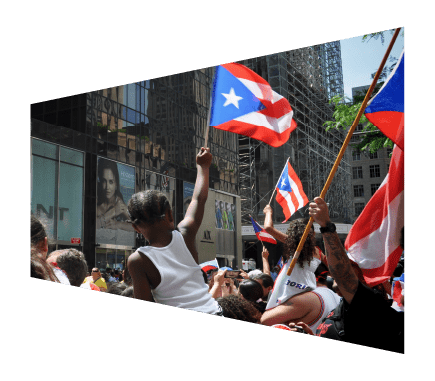

Testimony from "Civil Rights Implications of Disaster Relief: Hurricane Maria in Puerto Rico"
December 11, 2021
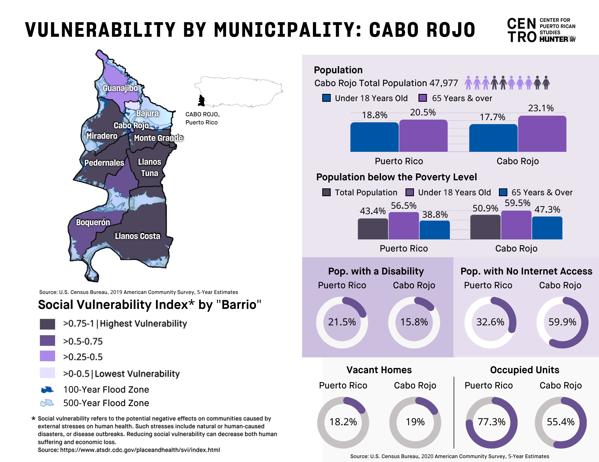
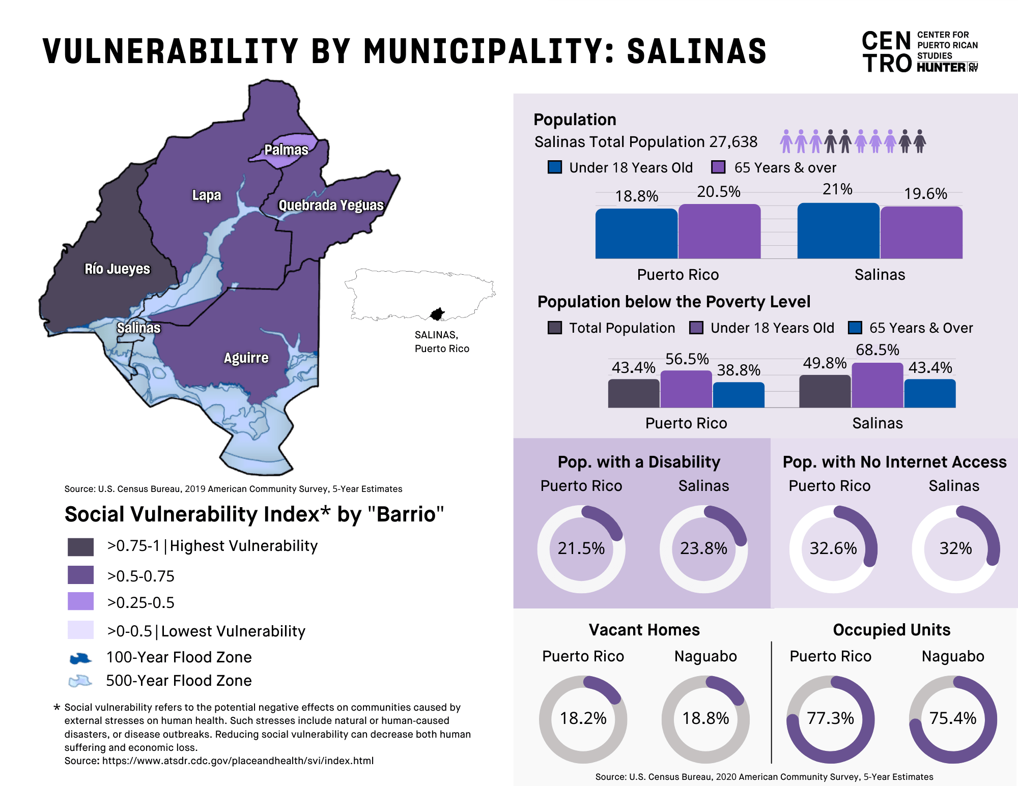
On December 10th, 2021, Centro Directora, Yarimar Bonilla, and Centro Director of Research, Jennifer Hinojosa spoke at the panel presented by the United States Commission on Civil Rights on the … Continued