
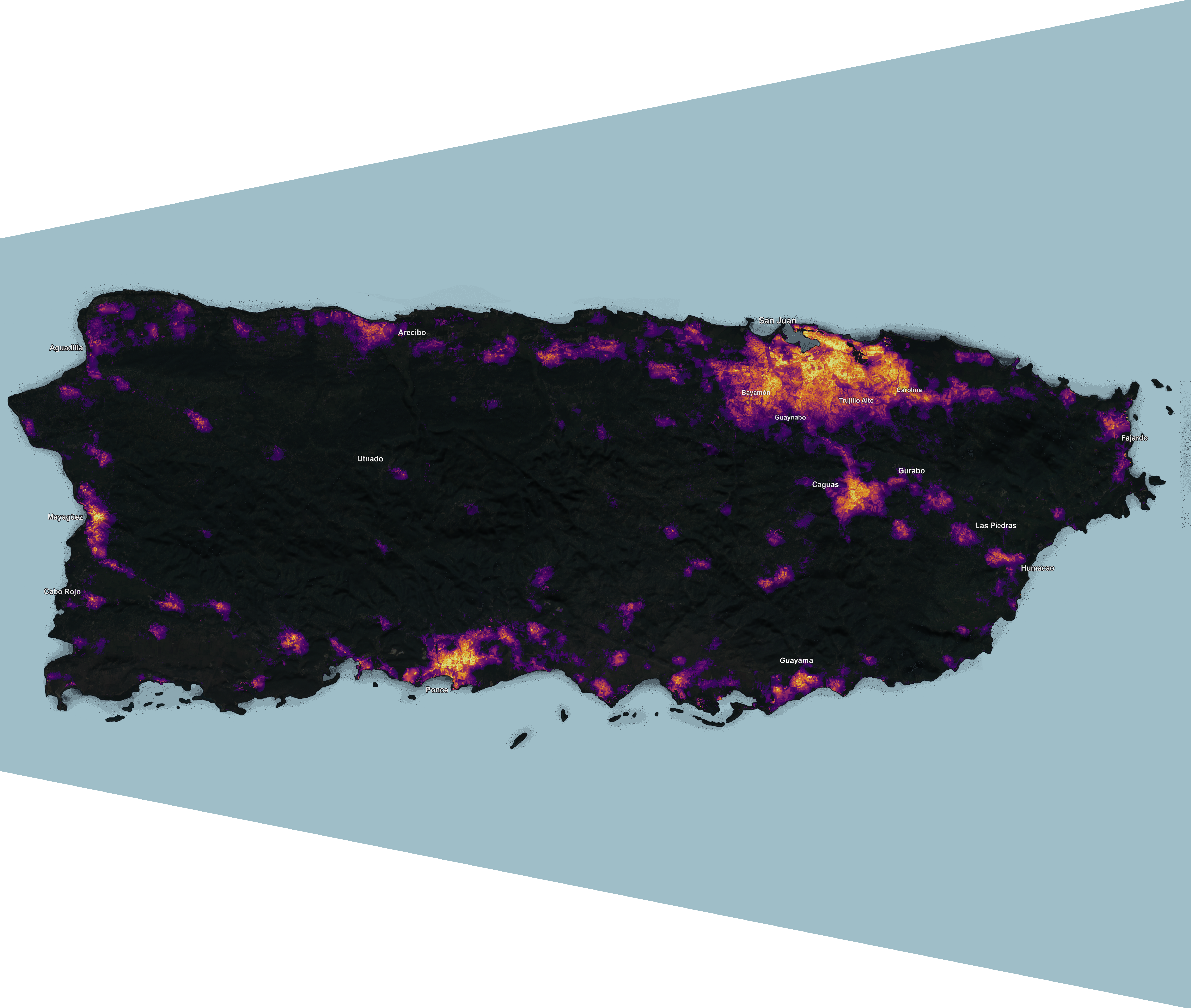
Mapping Puerto Rican Communities – GIS in Action
Cost: Free
May 14 @ 6:00 pm – 7:00 pm EDT
Join Centro for a discussion on harnessing the power of maps to tell stories and convey information. Learn from professionals across diverse sectors, both within the archipelago and the Diaspora, about using maps as a resource to engage and inform local communities. Panelists includes Dr. Maritza Barreto Orta, the principal investigator of Instituto de Investigación y Planificación Costera de Puerto Rico, Rafael Capó Garica, director of Memoria (de)Colonial, Marcos Echeverria Ortiz, creator of Where We Were Safe, and Nicole Hernandez, graduate student at Arizona State University.
This event offers attendees not only the opportunity to learn innovative ways in which Puerto Ricans are using maps, but also highlights the importance digital literacy has in todays society and how can it be leveraged to enhance community and the sharing of information.
This event has been made possible by the generous support of the United States Senate and House of Representatives (Senators Schumer and Gillibrand and Representative Espaillat)